|
Avionics- Multi Function Displays
| Avionics- Nav/Com | GPS Panel | GPS Handhelds | Instruments | Intercoms |
Watches | Headsets- ANR | Headsets- Passive | Transceivers
Garmin | Lightspeed | Vertex Standard | Icom
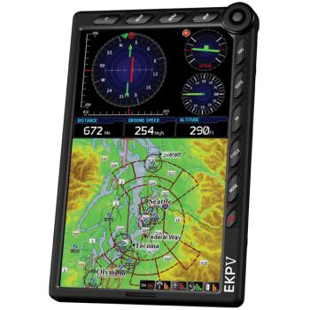
Avmap EKP-V GPS
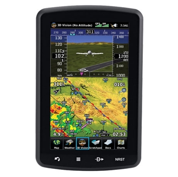
Garmin AERA 796
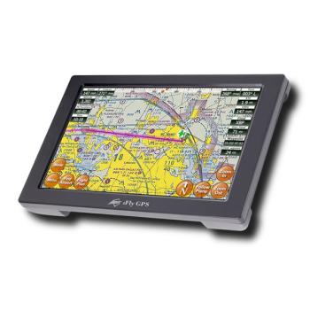
ifly 720 GPS Bose
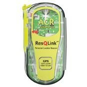
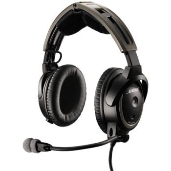
A20 ACR ResQLink
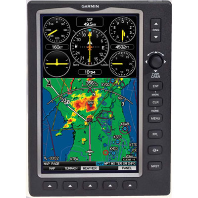
Garmin 696
.© Copyright 2005-2012. All
Rights Reserved
Garmin 696 | Garmin Aera 796 |
ifly 720 gps
Radio Control Jet | Radio Control Helicopter
|